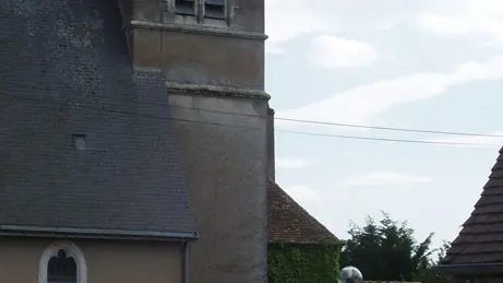
Saint-Jean du Bois, formerly known as St-Joannis de Bosco, was founded in medieval times.
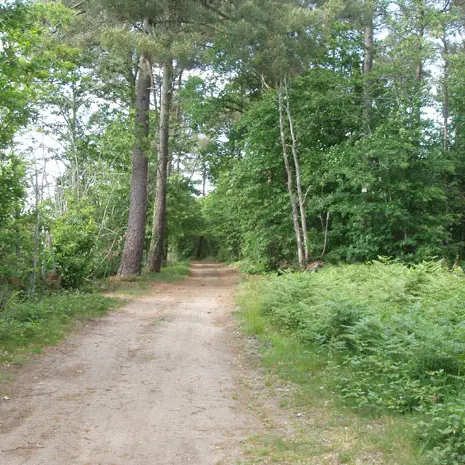
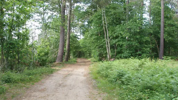
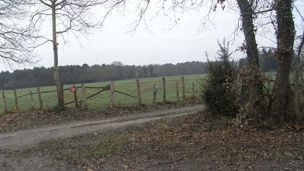
The commune is densely wooded, covering almost 700 hectares out of a total area of 1,462 hectares. To the south-west of the town, the Beaumortier stream has been intercepted to form a succession of ponds, the main ones being the Gilbert and Bonde ponds. These ponds form a remarkable string of lakes covering almost 50 hectares, which has been classified as a ZNIEFF zone (natural zone of ecological, faunistic and floristic interest),
The Jamboisienne loop at Saint-Jean-du-Bois, a veritable treasure trove of greenery where the forest and ponds reveal their secrets, and where some of the rarest flora and fauna live in complete serenity.
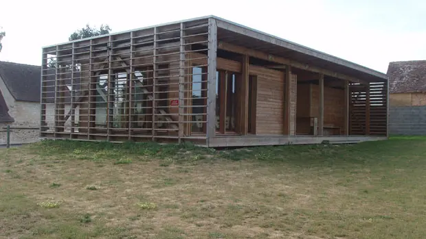
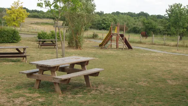
At the start of your hike, you'll be surprised by this bioclimatic hiking centre. Situated in the heart of the village on a leisure park, it's the ideal place for a picnic.